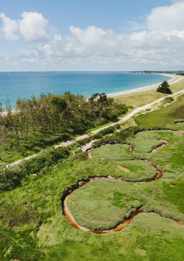
Located on either side of the Pointe de Mousterlin, the Natura 2000 site ” Marais de Mousterlin ” is an emblematic part of the Breton Riviera. Popular with locals and visitors alike, it offers remarkable biodiversity and unique landscapes, between lagoon, marsh, dunes and ocean.
 Mousterlin polder
The Mousterlin MarshFouesnant
The Mousterlin Marsha natural treasure on the Breton Riviera
Three natural environments to explore
The site is made up of three major natural areas:
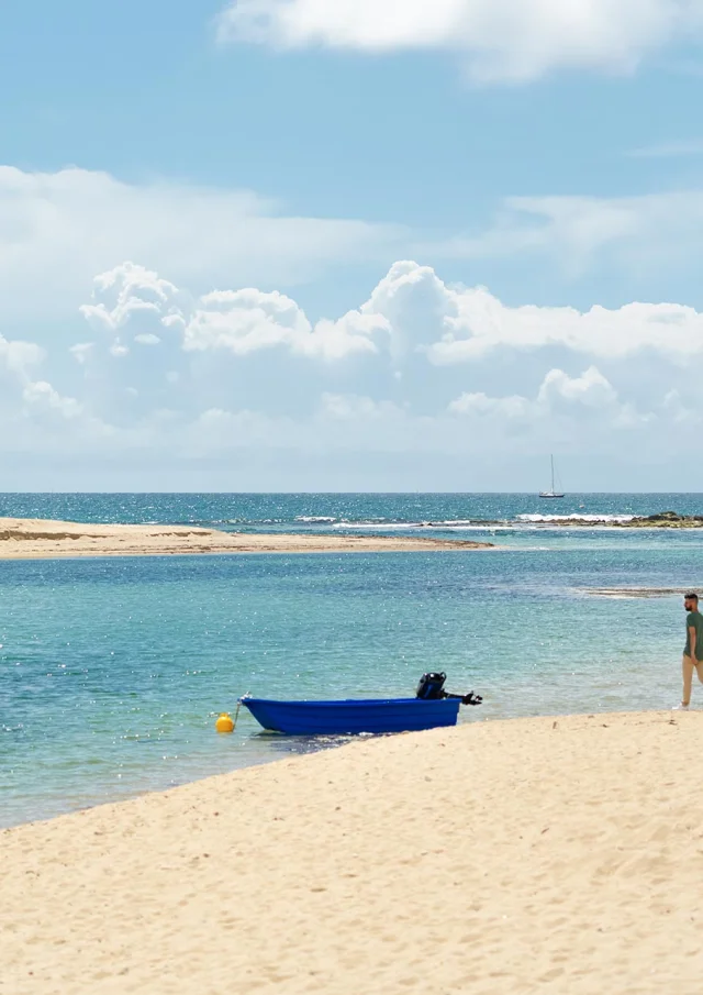
The Mer Blanche (or Letty)
A coastal lagoon to the west of the pointe de Mousterlin, protected from the swell by a dune belt. Its water, which is entirely salty thanks to a direct connection with the ocean, is home to an abundance of marine life: sea bass, mullet, flatfish, molluscs, crustaceans, seaweed… A veritable larder for many birds!
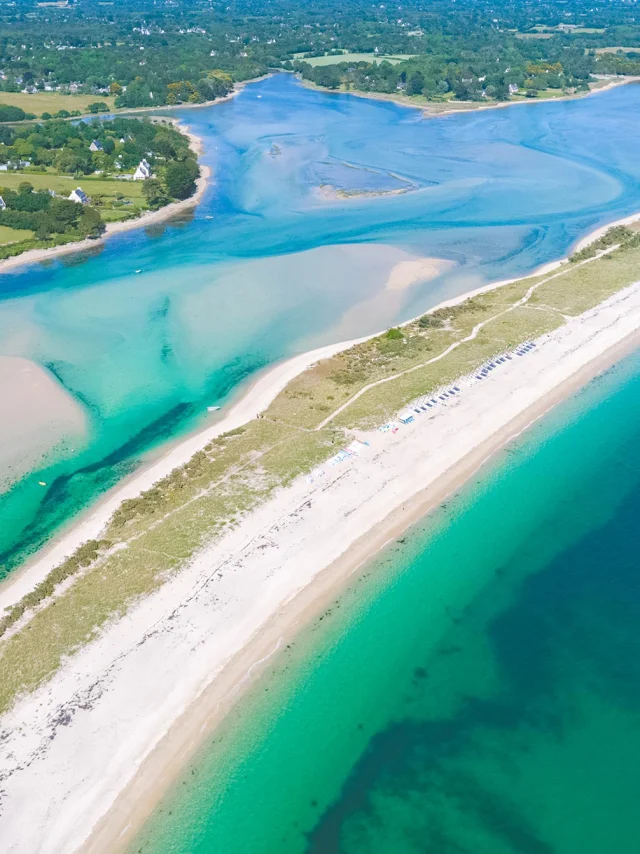
The Cleut Rouz and Kerambigorn dunes
Between the points of Mousterlin and Beg-Meil, these dunes form a natural barrier between the marsh and the ocean. There are two types of dune:
- The embryonic dune, mobile and shaped by the oyats that fix the sand.
- The white dune, set back and slightly more stable.
- The grey dune, older and home to lichens, mosses and hardy plants such as wallflower.
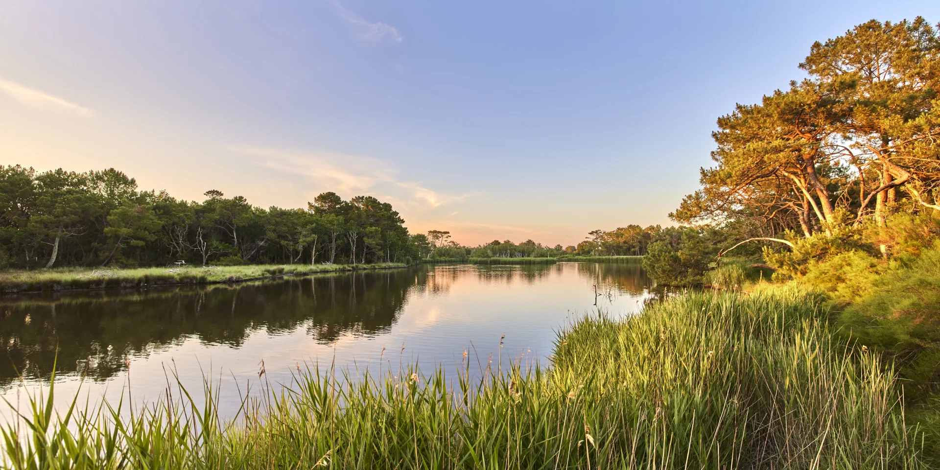
The Mousterlin Marsh
To the east of the headland, this marsh was transformed in the early twentieth century by the creation of dykes and canals as part of an agricultural reclamation project. Unlike the White Sea, the water here is brackish, with a mixture of fresh and salt water. There is a rich fish fauna and a wide variety of habitats:
- Salt meadows, frequented by brant.
- Wet meadows, rich in rare insects such as the barn owl.
- Reed beds, home to the grey heron and kingfisher.
 The White Sea
Did you know?
The name Vorlen comes from the Breton morlenn, meaning lagoon or lagoon.
LE MARAISIN PHOTO
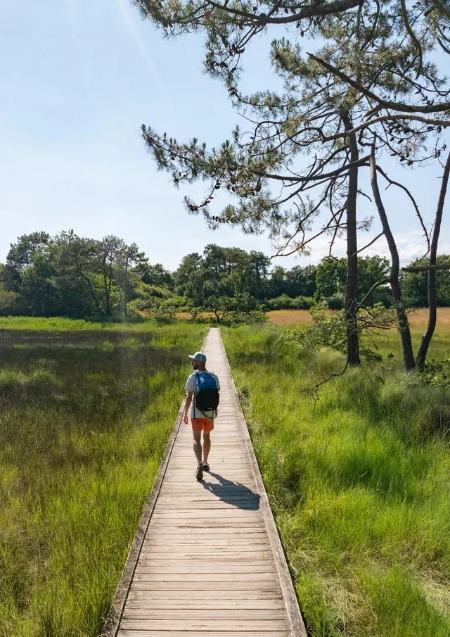
 Coastal path around the marsh at Mousterlin
 Bird Observatory in the Mousterlin Marsh in Fouesnant 1
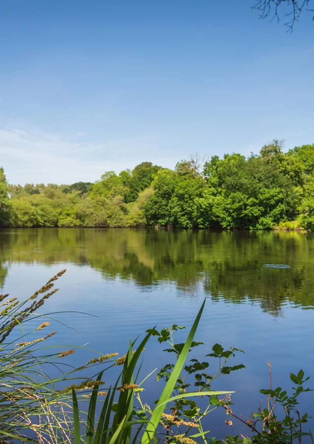 Mousterlin Marsh in Fouesnant
 Alexandre Lamoureux Marais De Mousterlin 5788
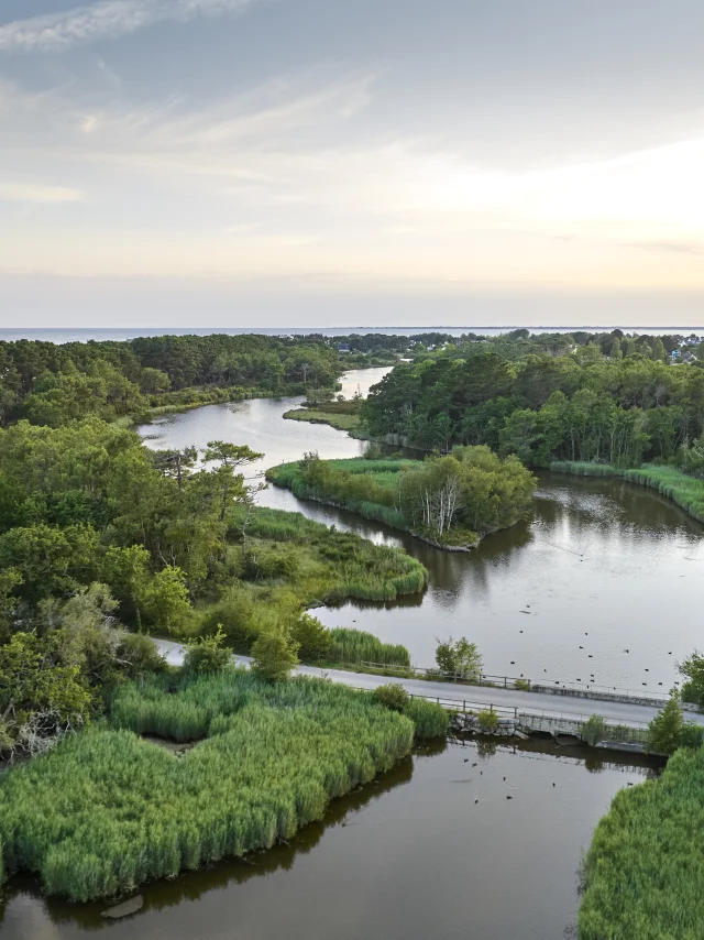 Mousterlin Marsh
A Natura 2000 site: European recognition
From the Mer Blanche to Beg-Meil, the site has been classified Natura 2000 for the quality of its habitats: foreshore, dunes, lagoons, wet meadows, salt meadows, reed beds, etc.
Why this recognition?
Because this area :
- Serves as a nursery for juvenile fish,
- Home to many migratory and breeding birds,
- Provides a valuable refuge for local flora and fauna.
A protected site managed locally
Since 2018, the Communauté de communes du Pays Fouesnantais (CCPF) has been leading the management of the site, according to an action plan known as the DOCOB. This approach is being built in partnership with the communes, the State, associations, private owners and farmers.
Actions in place:
- Resalinisation of the marsh via an automatic valve (2014) to restore its lagoon-like character.
- Maintenance of the wet meadows (mowing, grazing by Nantes cows).
- Control of invasive plants.
- Protection of the dunes: restricted access to sensitive areas.
- Regular monitoring: water quality, fish populations, biodiversity.
- Raising awareness: signs in the field, educational events and activities.
- Stay on the marked paths
- Collect and sort your rubbish
- Don’t pick anything, whether plants or shells
- Leave dead wood on the ground, as it provides shelter for many species
- Be discreet: observe animals from a distance, with binoculars if possible
- Keep your dog on a lead and observe the seasonal bans: From 1 June to 30 September on the beaches
- From April onwards at the tip of the river (to protect the red-necked gravelot)
- Come back in other seasons: the site changes all year round!
Sorry, no content matches your search